5 ways we’re bringing AI innovations to people across Africa

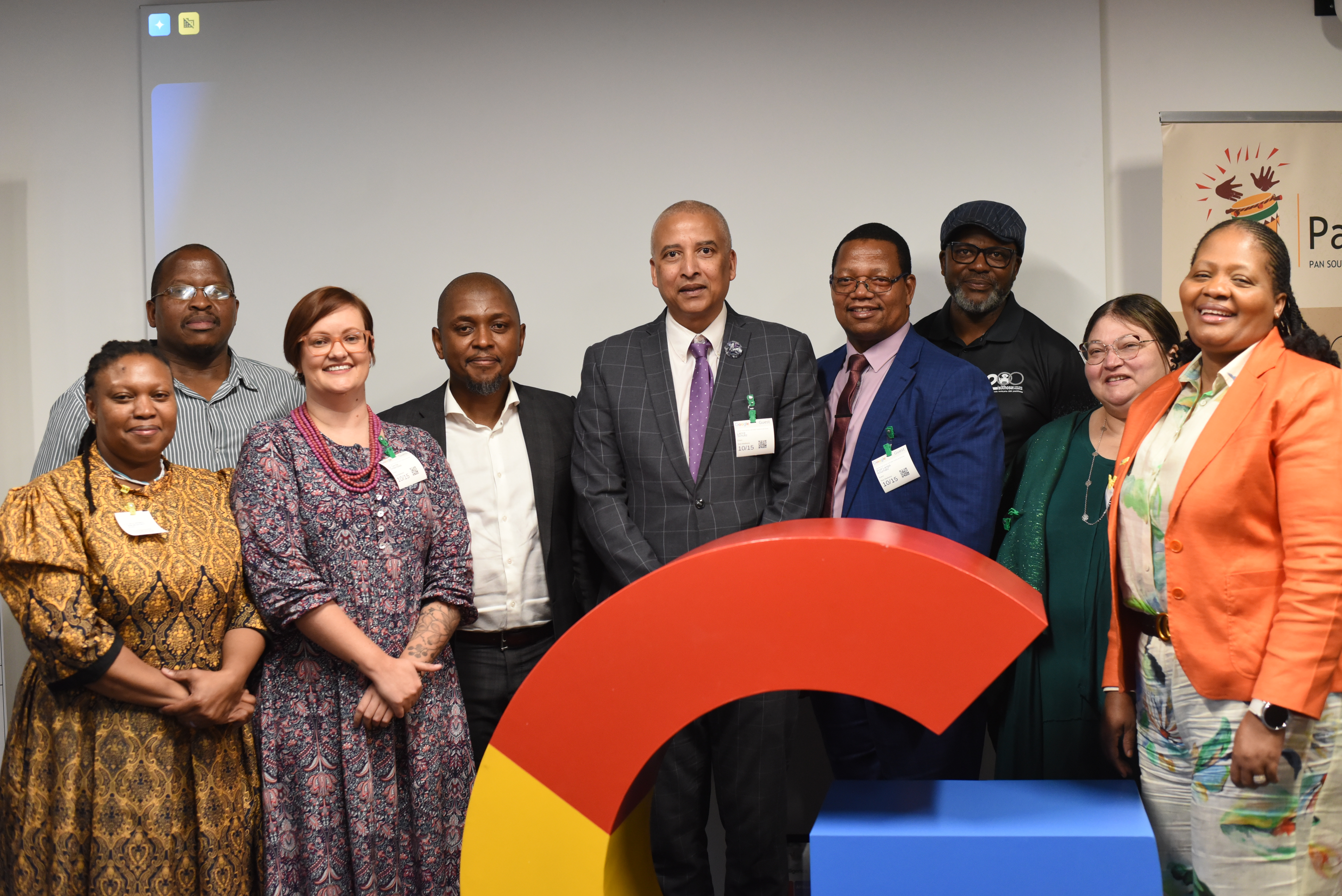
Today, we announced a new wave of programs to support AI research and development across Africa, including the launch of a new AI Community Center in Accra and $37 million in cumulative funding.
Across Africa, researchers, developers, startups and community organizations are applying AI to improve healthcare delivery, expand access to education, support agriculture, strengthen climate resilience, and more. Partnerships are central to this progress. At Google, we’re working with partners across domains to extend what’s possible through technical support, tools and research collaborations.
Here are five ways these collaborations are making an impact.
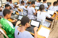
1. Creating engaging educational experiences
AI is unlocking novel opportunities for learning. Google Research teams are designing AI experiences, backed by learning science principles, to make K-12 education more personalized and engaging. We’re piloting these with students and teachers in Ghana to ensure that what we build is locally relevant. Earlier this year, we piloted our LearnLM model for answer assessment with 3,500 high school students in 7 schools, with T-Tel, Kayma and the Ministry of Education. This month, we launched the next phase with 5,000 students in 13 schools, also with the University of Education, Winneba. We’ll keep working with pedagogy experts to bring AI into classrooms across Africa in ways that are helpful and effective.
2. Making short-term weather forecasts widely available
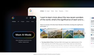
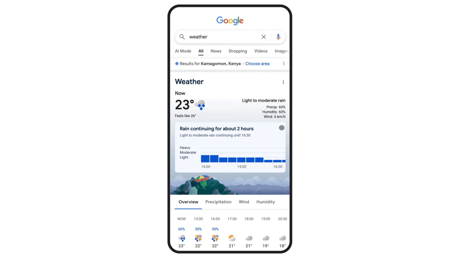
Knowing the weather forecast each day makes a real difference in people’s daily planning and in domains like agriculture. Google has been working on AI-powered nowcasting for years, and in March this year our teams in Accra and Nairobi helped to make short-term precipitation forecasts available on Search to users across the continent. This was made possible following advances in our MetNet model which uses satellite data and ground observations to produce highly accurate precipitation forecasts within a 5km radius every 15 minutes, for 12 hours ahead. We’re engaging with local scientific communities to further improve forecast accuracy.
The nowcasting experience in Search, shown in Kenya
3. Forecasting floods up to 7 days in advance
Timely flood warnings enable governments and communities to take action to save lives and support disaster response efforts. Google Research’s global hydrological AI model, published in Nature, enables us to accurately forecast riverine floods up to seven days in advance in 41 African countries, covering 460M people across the continent. We used AI to analyze historical data and create “virtual gauges” for locations where physical gauges are not available, significantly expanding our coverage in Africa. Building on these forecasts, organizations like GiveDirectly and the UN Office for the Coordination of Humanitarian Affairs are launching pilot Anticipatory Action programs in countries such as Nigeria. Google.org’s $2.1M reinvestment will continue this work, and help GiveDirectly to work with Google Research's new drought early warning models, as many flood prone areas oscillate between flood and drought conditions. The anticipatory cash efforts provide a fast, cost-efficient, agency-empowering way to translate Google Research's early warnings into timely actions on the ground.
4. Improving maternal health outcomes
Accessing emergency obstetric care can be a race against time, especially for women living outside of urban areas. To address this critical challenge, we developed a dashboard that visualizes geographic access to Emergency Obstetric Care. We launched it in Nigeria in 2023 and in Ghana this year, in partnership with OnTIME Consortium. The insights enable health ministries and organizations to better allocate resources and improve maternal health outcomes. We’re working to make these insights available in more countries in the coming months.
5. Providing insights for infrastructure and public services
When it comes to planning infrastructure and public services, decision makers need data about the buildings in any given area. Our Open Buildings dataset consists of over 1.8 billion structures across the global South. It was developed by the Google Research Africa team using AI and satellite imagery, and last year we added a 2.5D Temporal layer to capture how buildings evolve. This living view is helping governments, NGOs and startups to better understand population needs and plan accordingly, from building clinics to designing roads and dispatching aid more fairly. SAND Technologies and Rwanda's Ministry of Health, for example, used it to determine the placement of healthcare facilities.